|
|
|
|
| WILSON HILL
LOOKOUTS 2.4 AND 2.5
USE CH 55 AND RELAY INTO EROC 9
|
| NOTE: IN FIELD RECOMMEND 50 WATT WITH MAG
MOUNT.
ON 5/15/2023 TESTED UV5R with long rubber ducky from Wilson
Lookout 2.4 and Wilson Lookout 2.5. Communications were readable
with a little bit of scratch.
|
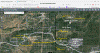
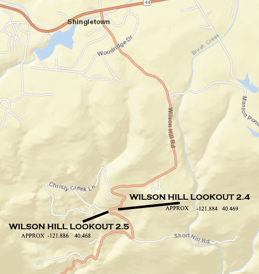
| MAP VIEW OF LOCATIONS |
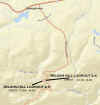 |
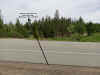
WILSON HILL LOOKOUT 2.4
WILSON HILL LOOKOUT 2.5
|
| |
|
|
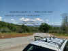
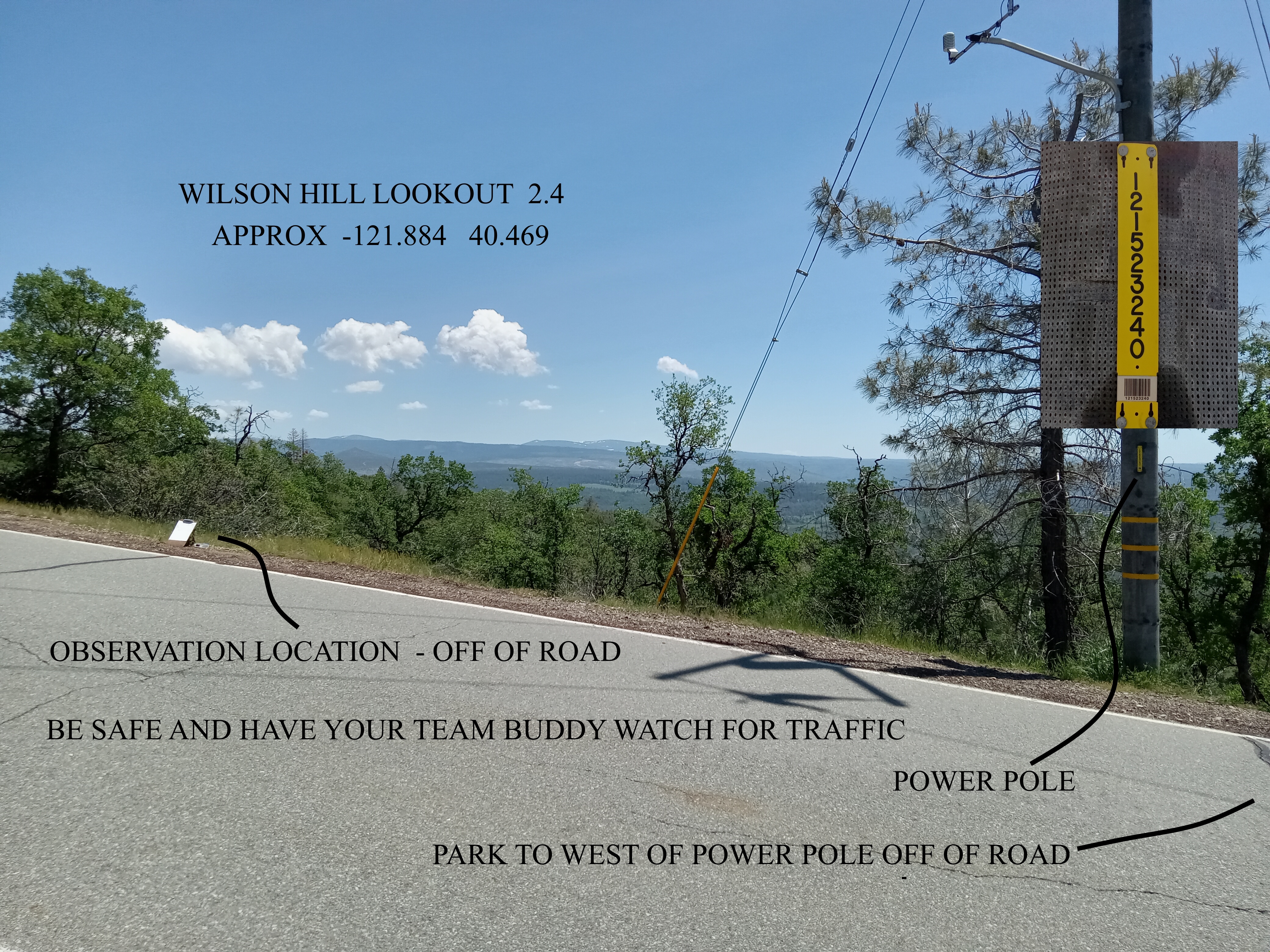
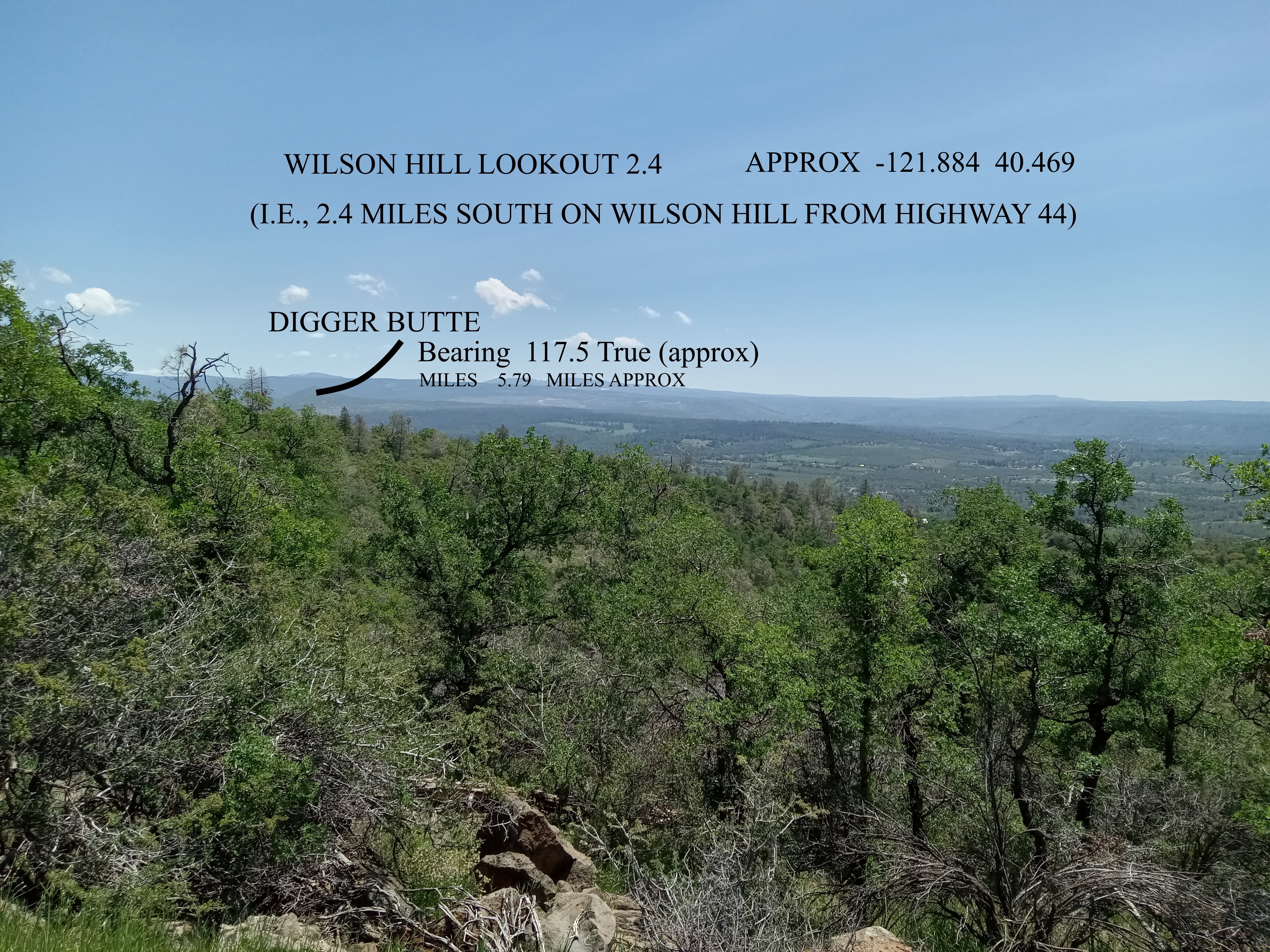
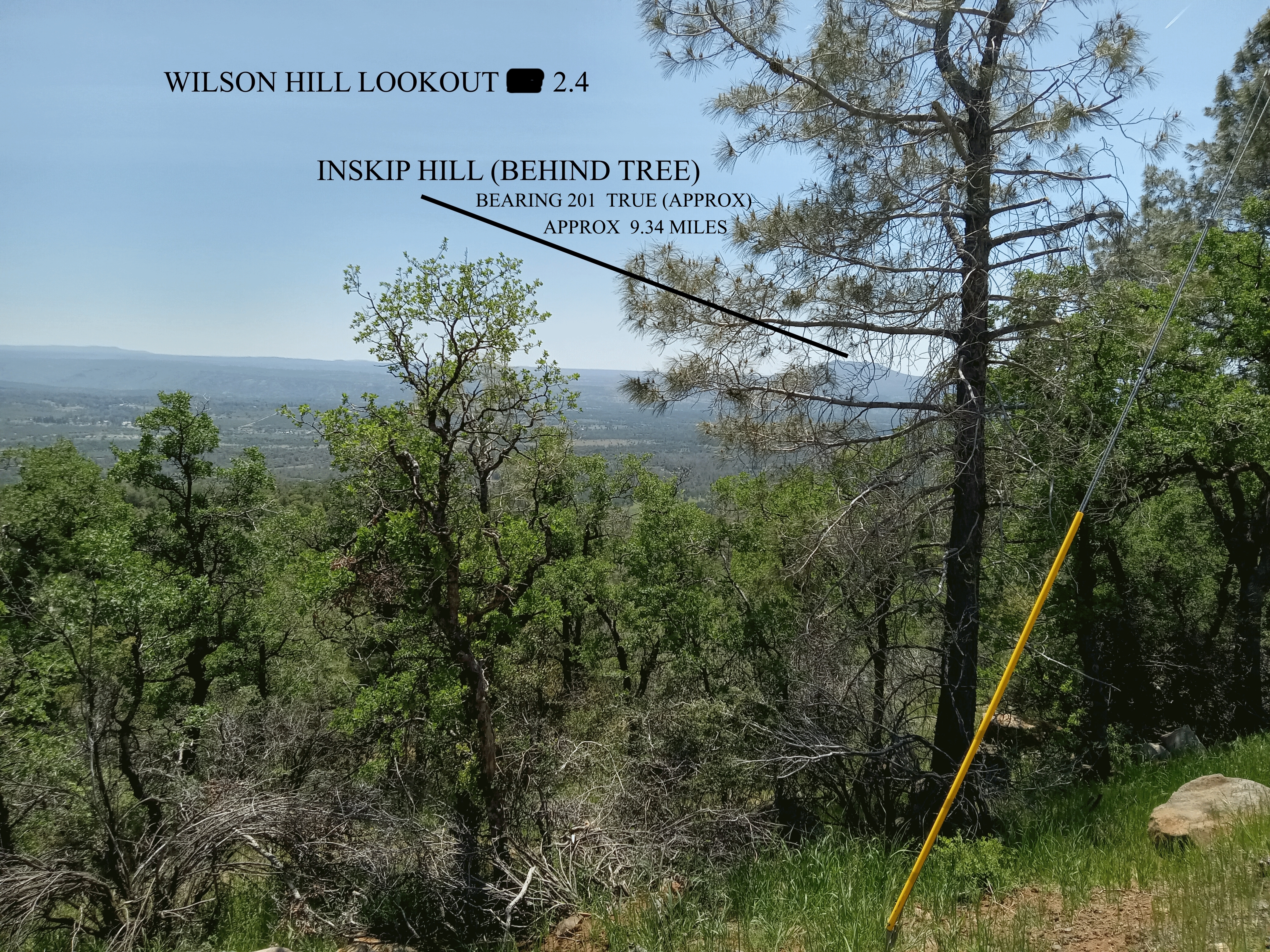
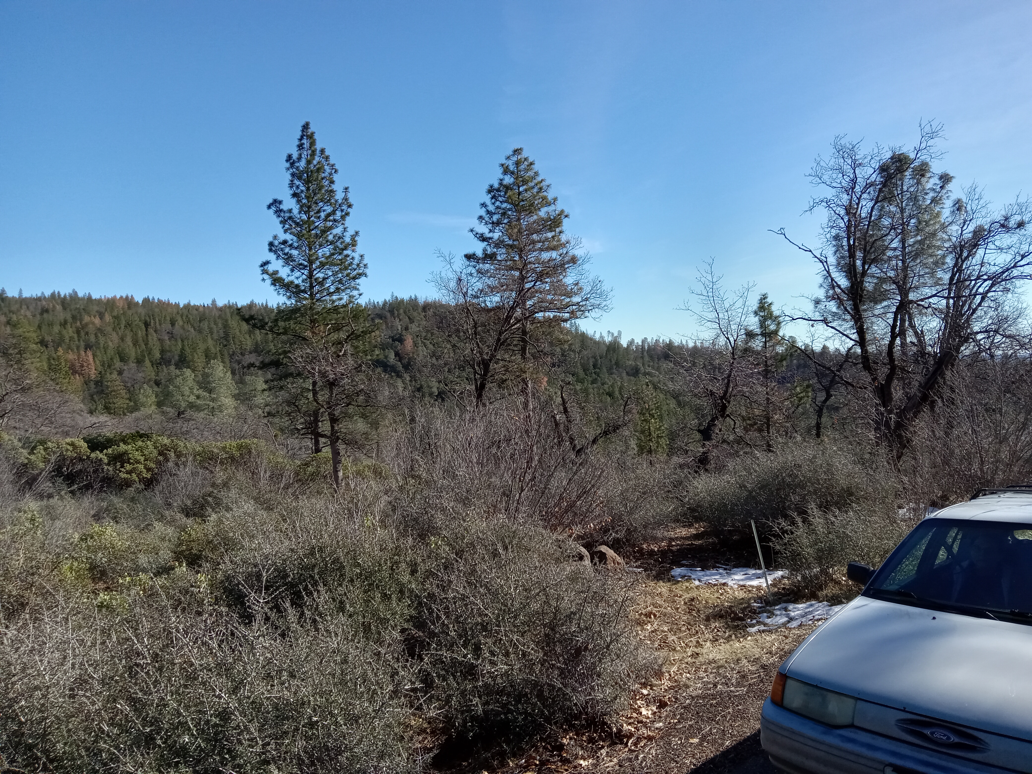
| WILSON
HILL LOOKOUT 2.4 |
|
2.4 MILES SOUTH ON WILSON HILL ROAD FROM
HIGHWAY 44
approx -121.884 40.469 |
|
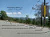
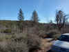
View from Road |
 |
|
|
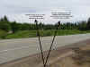
East SE Viewing |
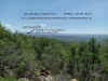 |
Approximations:
Digger Butte: 5.79 miles Bearing 117.5 True
|
|
South Viewing |
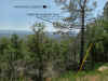 |
Approximations:
Inskip: 9.34 miles Bearing 201 True
|
| |
|
|
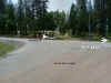
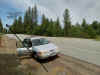
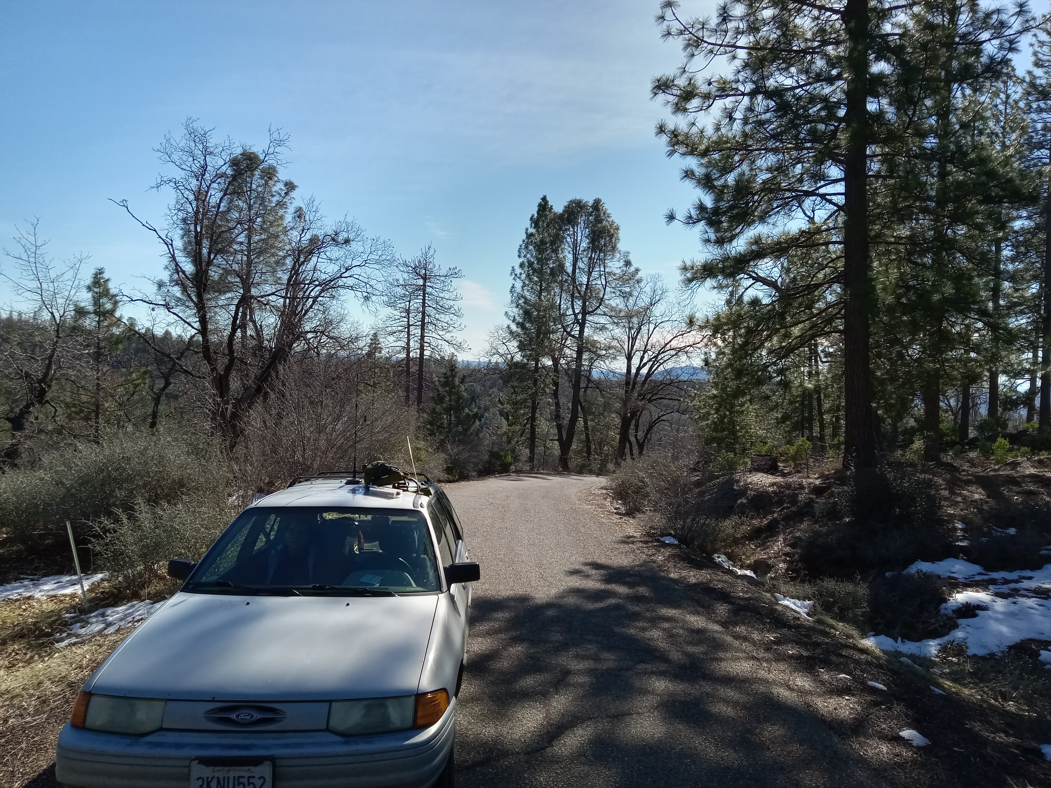
| WILSON
HILL LOOKOUT 2.5 |
|
2.5 MILES SOUTH ON WILSON HILL ROAD FROM
HIGHWAY 44 (also good turn around point)
approx
-121.886 40.468 |
| View from Road and E SE viewing |
 |
Approximations:
Digger Butte: 5.8 miles Bearing 116.5 |
| |
|
|
| |
|
|
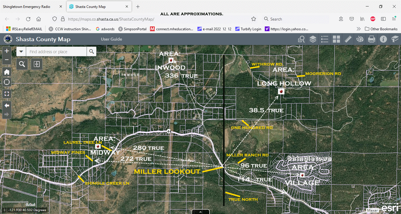
| MILLER RANCH LOOKOUT. |
| UPDATING IN PROCESS |
|
|
| MAP VIEW OF LOCATION |
 |
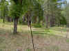
" MILLER LOOKOUT" |
| View of Lookout Location |
 |
Where the Lookout is located |
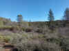
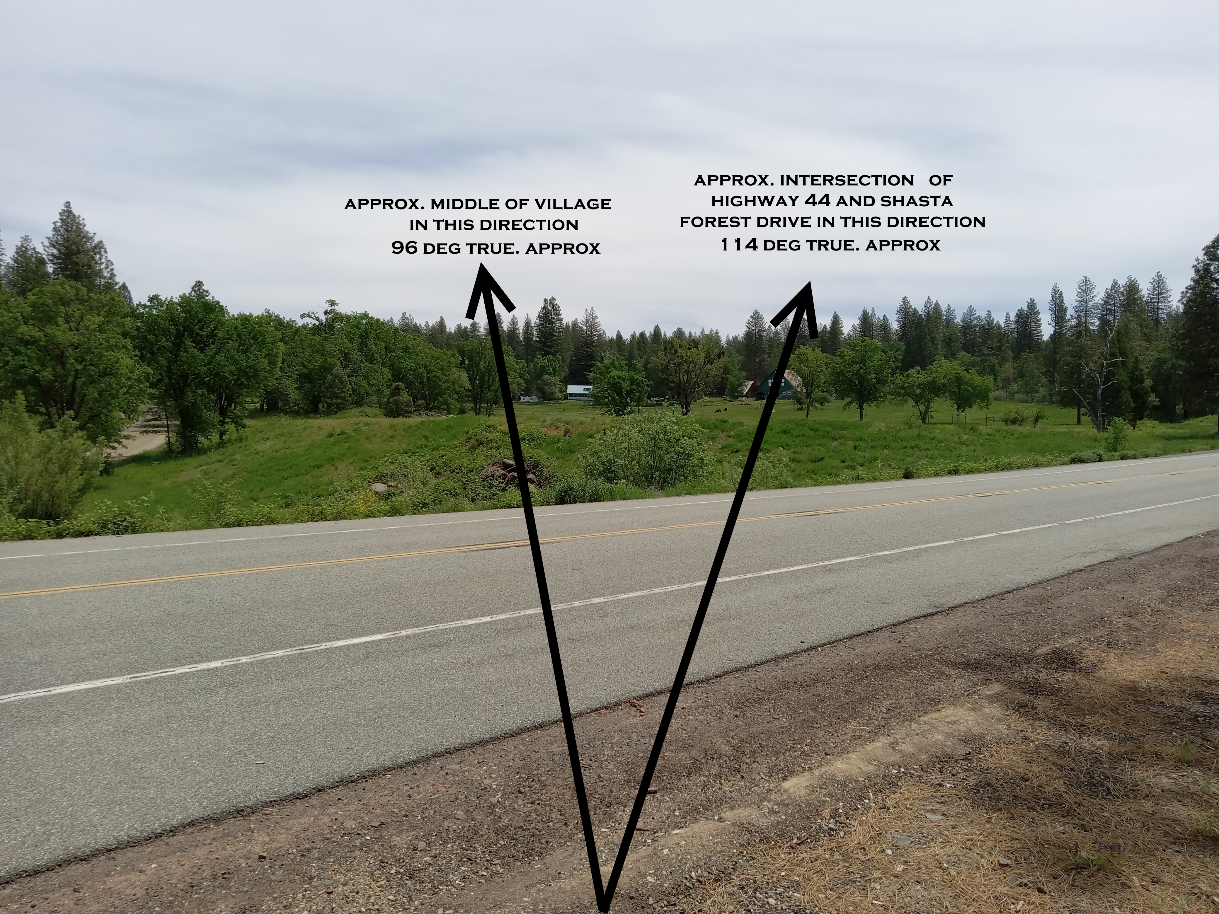
| View NE to SE view
Towards VILLAGE |
 |
|
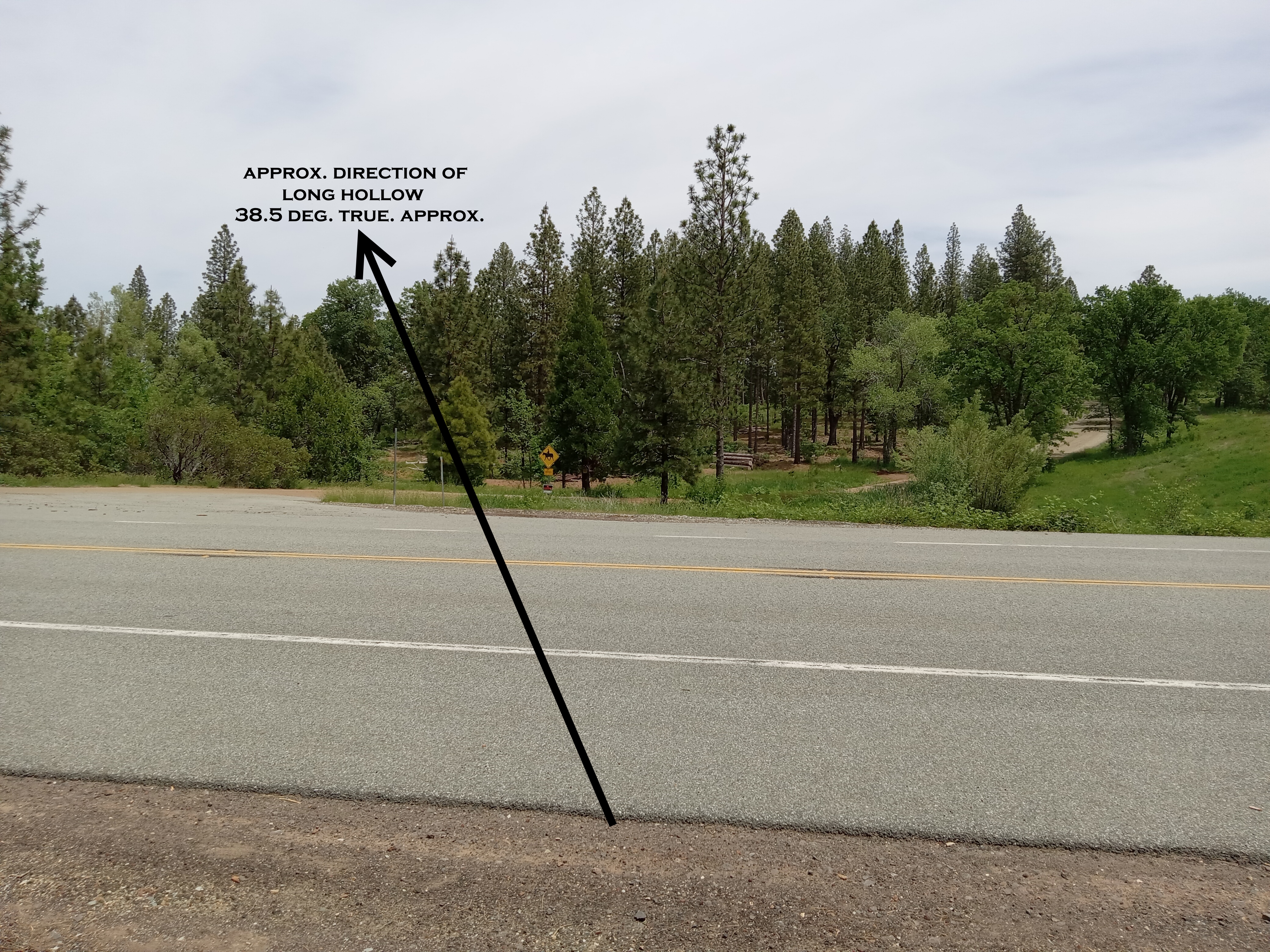
| View NE
Towards Long Hollow |
 |
|
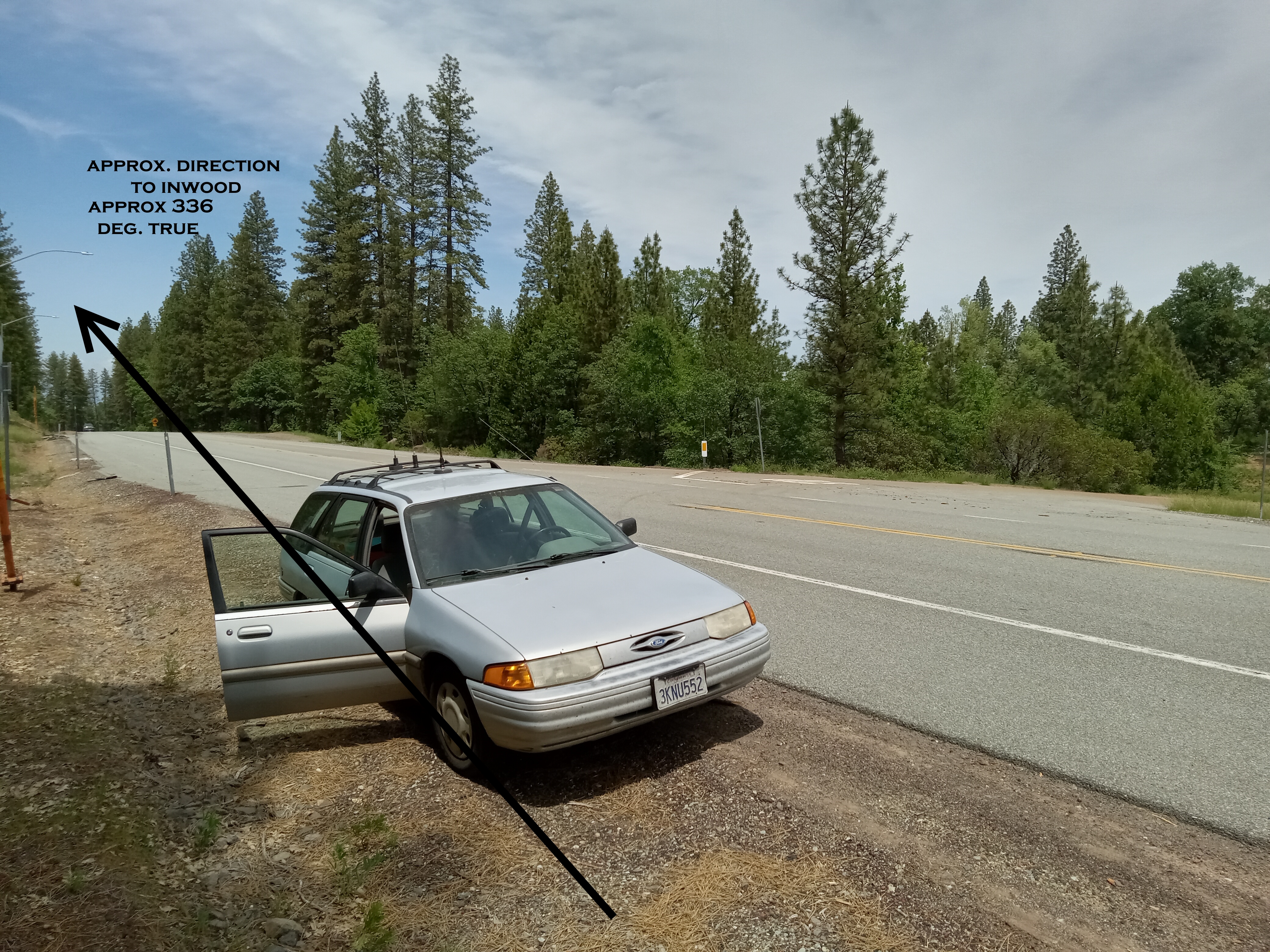
| View NW
Towards Inwood |
 |
|
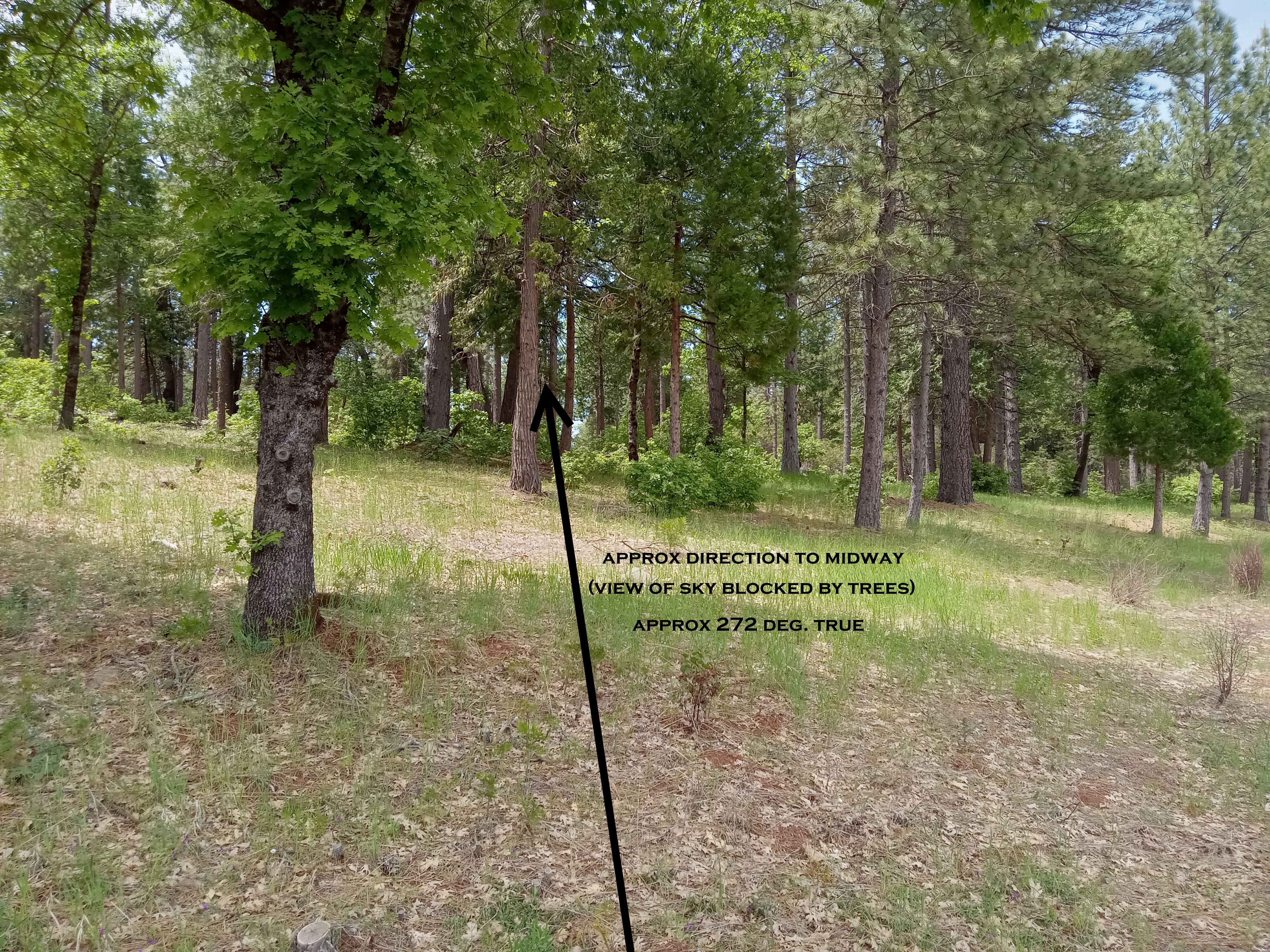
| View Westerly
Towards Midway (blocked by trees) |
 |
|
| |
|
|
| |
|
|
| Shingletown Town Ridge Road - Head South
from Highway 44. |
| 1.7 miles
south from Highway 44. Just before sharp curve to West |
|
|
|

|
|
Approx 75 Degree True |
Approx 120 Degree True |
Approx 180 Degree view |
| |
|
|
| 2.18 MILES
SOUTH FROM HIGHWAY 44. LAST HOUSE |
|

|
|
|
| LOCATION: 2.18 MILES SOUTH FROM HIGHWAY 44.
LAST HOUSE JUST PAST PAVEMENT ENDING.(which ends at 2.1 miles)
SMALL POWER LINES ABOVE ROAD. STREET ADDRESS 30033 Shingletown Ridge
Road (metal gate with "A" in middle). South side of Road.
Bearings to following (not visible) - on other side of Hill:
Digger Butte 113 Deg True
Landing Strip 128 Deg True
Inskip Hill Camera 184 Deg True
DO NOT GO PAST THIS POINT. DANGEROUS ROAD.
|
|
|


